Topic
Seafloor Mapping

Wet Maps
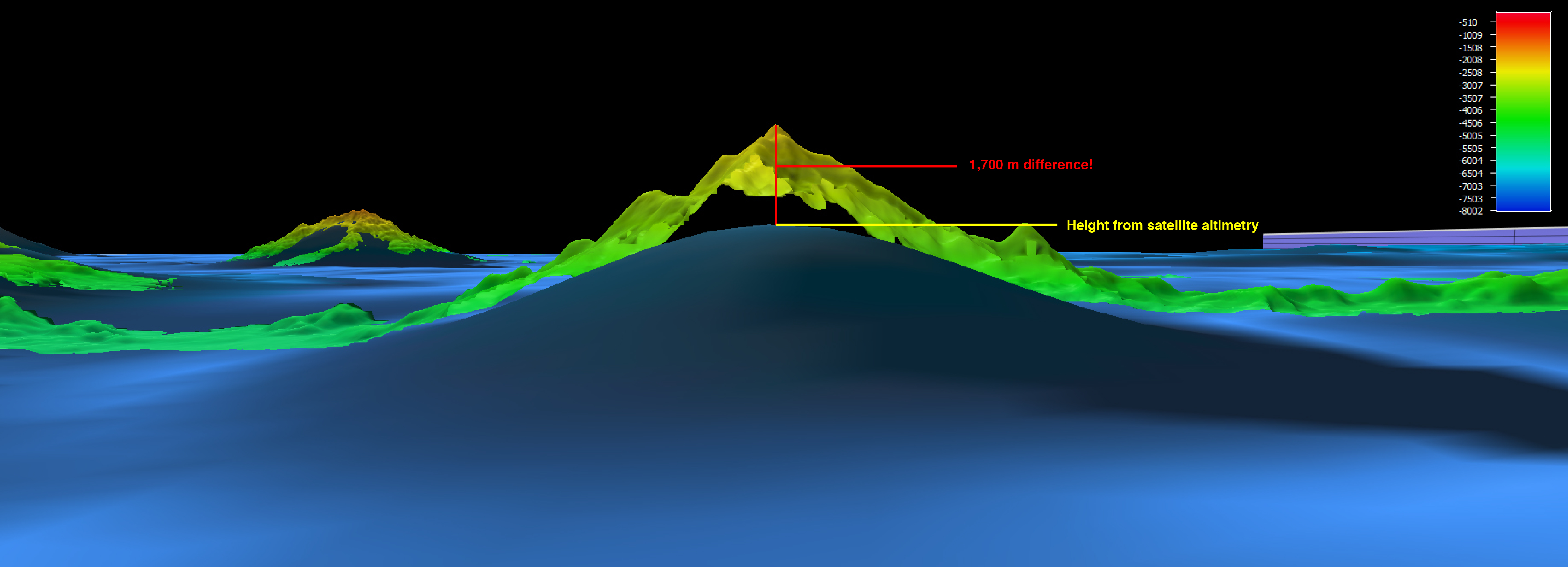
High resolution bathymetric maps are essential for finding and exploring geological, archaeological, and biological features in the ocean. In this lesson, students develop and use models to explore seafloor features; analyze and interpret data to explain how multibeam sonar is used to identify patterns of ocean floor structures; construct three-dimensional maps; and learn how multibeam sonar technology extends the measurement and exploration capacity of modern ocean exploration.