Topic
Seafloor Mapping

Watching in 3D: Exploring Multibeam Sonar
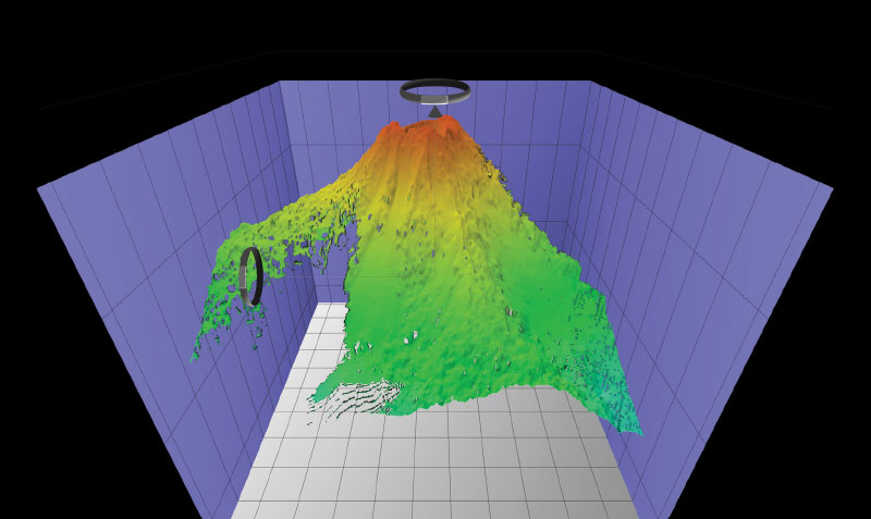
Students utilize authentic ocean exploration tools to dive into the driving question: How are bathymetric maps and multibeam sonar data used to support ocean exploration? Each of multiple Student Case Studies provides engaging ways for students to explore a specific underwater feature while combining interactive tools like maps, videos, and expedition logs. Real scientific expedition data and resources are used to expose students to authentic ocean exploration and research and provides opportunity to practice observation and critical thinking skills.