![]() Topic
Topic
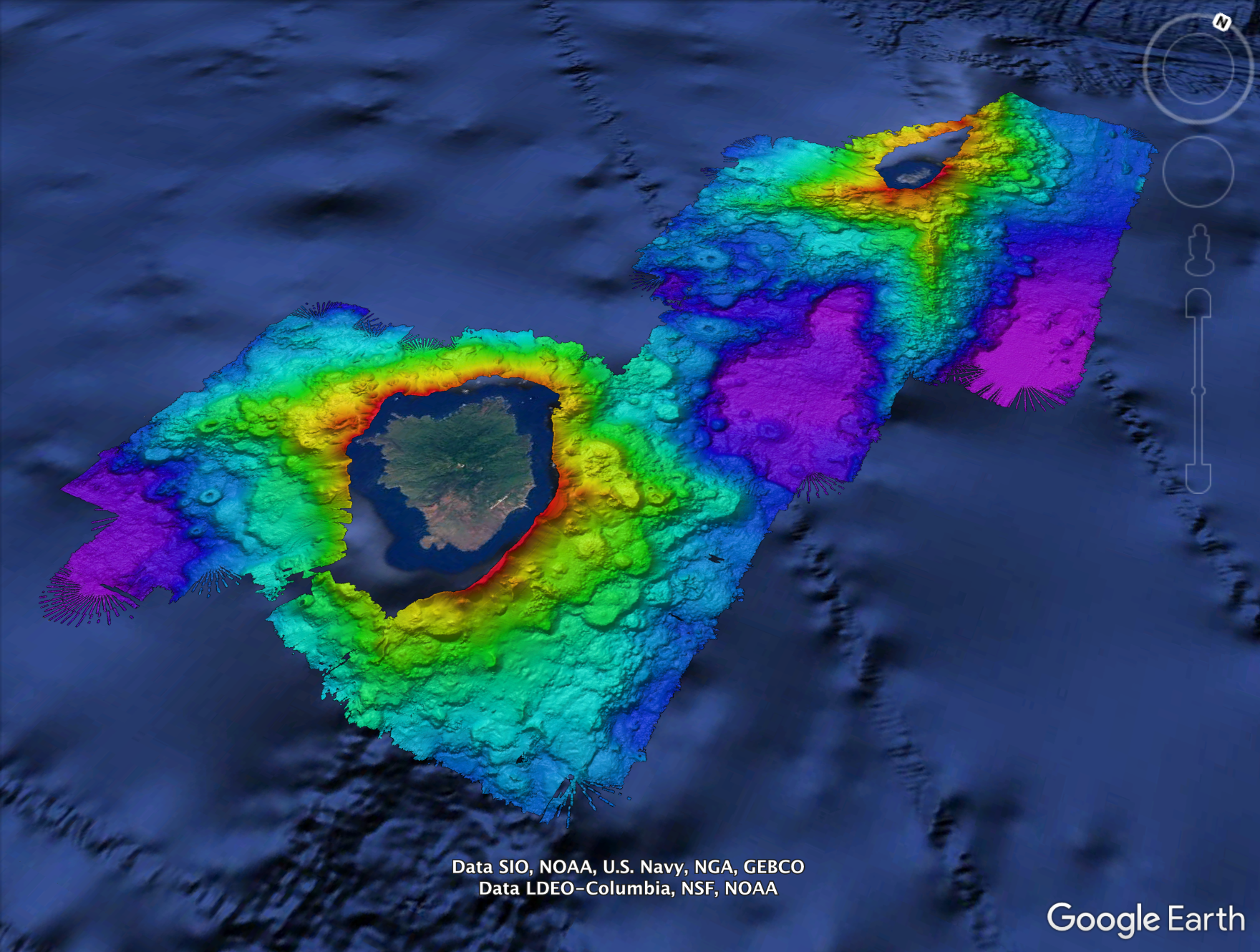
Seafloor Mapping
Seafloor Mapping Simulation
Introduce students to multibeam sonar mapping using simulated sonar beams (wooden dowels) and “mystery seafloor” boxes with perforated lids and hidden landscapes. Students will use the dowel to measure returns then calculate the depth of their sonar soundings based on the speed of sound through water (basic conversions and algebraic equations). Students will infer the seafloor features based on the depth profiles created, and compare and analyze the differences between low and high-resolution sounding maps before revealing the true hidden landscape.
Simulación de mapeo del fondo marino
Presente a los estudiantes el mapeo de sonar multihaz usando haces de sonar simulados (clavijas de madera) y fondos marinos “misteriosos” en cajas con tapas perforadas y paisajes ocultos. Los estudiantes usarán la clavija para medir los retornos y luego calcularán la profundidad de sus sondas de sonar basándose en la velocidad del sonido a través del agua (conversiones básicas y ecuaciones algebraicas). Los estudiantes inferirán las características del lecho marino en función de los perfiles de profundidad creados, y compararán y analizarán las diferencias entre los mapas de baja y alta resolución antes de revelar el verdadero paisaje oculto.
Students will:
- be able to explain the importance of seafloor mapping to understand the earth and ocean as well as understand how little of the global ocean has been mapped (<15%).
- understand how sound moves through water.
- calculate the depth based on time of sound return.
- produce bathymetric maps based on their own simulated depth data.
Los y las estudiantes:
- serán capaces de explicar la importancia mapear el fondo marino para comprender la tierra y los océanos, así como entender lo poco se ha cartografiado el océano global (<19%).
- comprenderán cómo se mueve el sonido a través del agua.
- calcularán la profundidad en función del tiempo de regreso del sonido.
- producirán mapas batimétricos basados en sus propios datos simulados de profundidad