![]() Topic
Topic
Seafloor Mapping
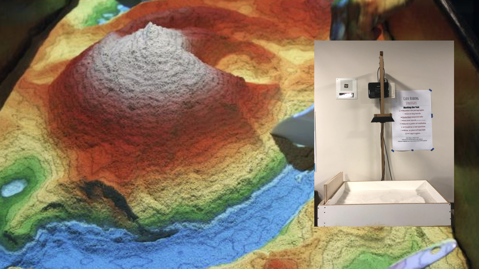
Augmented Reality Bathymetry Sandbox
The AR sandbox project combines 3D visualization applications with a hands-on sandbox exhibit to teach earth science concepts.
Designed by researchers at University of California – Davis, the hands-on exhibit allows learners to physically explore topographic and bathymetric concepts, relationships, and visualize the processes that result from manipulating the sand.