![]() Topic
Topic
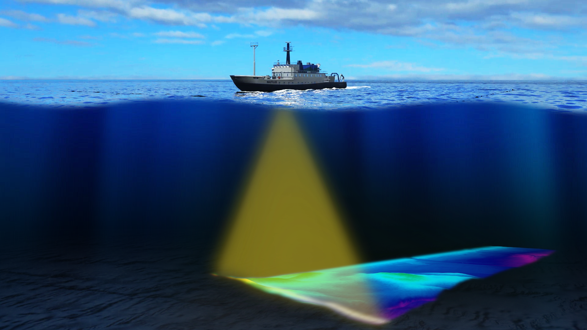
Seafloor Mapping
Pings! Lesson Plan
To uncover the geological features that are under the water, ships use echoes created by sonar, known as pings, to determine the floor’s features. Many environmental factors influence how sound travels through the water like salinity and temperature. Bring mapping into your classroom with the Pings! Lesson Plan. In this lesson, students will simulate transmitting and receiving sonar signals with a partner, and create maps together.